|
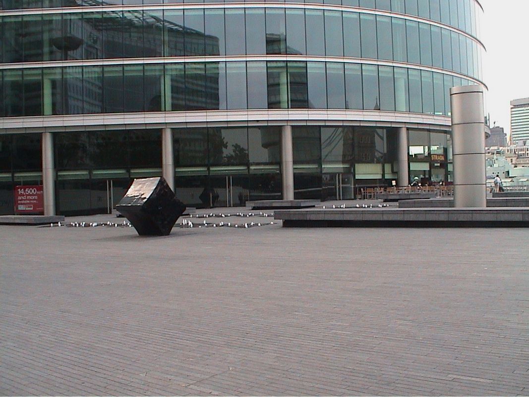
Location of More London
- Map
- For a tour of the area
Southwark
- Nearby Tube/DLR stations
London Bridge (distance = 459 m bearing 327°)
- Nearby major Bus Stop
City Hall (distance = 98 m bearing 147°)
Other links to More London
Local Pubs
AnchorTap (distance = 331 m bearing 139°)
, Camel, The (distance = 331 m bearing 139°)
, Cooperage (distance = 487 m bearing 326°)
, Horniman at Haywards Wharf (distance = 272 m bearing 322°)
, Skinner (distance = 322 m bearing 327°)
, The Tiger Tavern (distance = 418 m bearing 31°)
Nearby sights
Anchor Brewhouse (distance = 333 m bearing 146°)
, Butlers Wharf (distance = 347 m bearing 146°)
, Shad Thames (distance = 395 m bearing 145°)
,  Shard (distance = 416 m bearing 236°)
, St Olaf House (distance = 497 m bearing 324°)
, Tower Place (distance = 436 m bearing 31°)
, Belfast, HMS (distance = 209 m bearing 308°)
, Tower of London (distance = 429 m bearing 38°)
, City Hall (distance = 48 m bearing 306°)
, Custom House (distance = 477 m bearing 306°)
, Girl and a Dolphin (distance = 451 m bearing 54°)
, Shard - the view (distance = 467 m bearing 237°)
, Hay's Galleria (distance = 283 m bearing 322°)
, Tower Bridge (distance = 303 m bearing 56°)
, Thames - Upper Pool (distance = 255 m bearing 305°) Shard (distance = 416 m bearing 236°)
, St Olaf House (distance = 497 m bearing 324°)
, Tower Place (distance = 436 m bearing 31°)
, Belfast, HMS (distance = 209 m bearing 308°)
, Tower of London (distance = 429 m bearing 38°)
, City Hall (distance = 48 m bearing 306°)
, Custom House (distance = 477 m bearing 306°)
, Girl and a Dolphin (distance = 451 m bearing 54°)
, Shard - the view (distance = 467 m bearing 237°)
, Hay's Galleria (distance = 283 m bearing 322°)
, Tower Bridge (distance = 303 m bearing 56°)
, Thames - Upper Pool (distance = 255 m bearing 305°)
Notorious sights in the area
Tower of London Bomb (distance = 438 m bearing 38°)
General Links Local Map
Map of what is in the area - using Google map
|